
DIGITAL DATA RESOURCES 2
Contour Data 2
A vector coverage in ARC-INFO format of the contour lines. Each vector has the height coded into it. It is called CONTLINES. The INFO file contlines.aat contains an item called SPOTwhich holds the height of that contour.
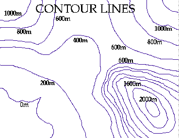
Figure 4: 200m contour lines in the Oakwood area.
Shrine Point Data
The Oakwood shrine is in a point coverage in ARC-INFO format called SHRINEPOINT.
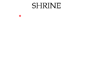
Figure 5: Oakwood shrine

 go on .
 go back
 go home