
DIGITAL DATA RESOURCES 3
SEA & LAKES
Are in an ARC-INFO polygon coverage called WATERPOLY. In the INFO file waterpoly.pat there is an item called ISWATER.
			FEATURE          ISWATER
			Sea                10
			Lake               10
			Land               1
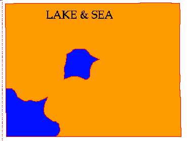
Figure 6: The sea and the lake
RIVERS
Are in a vector ARC-INFO coverage called
RIVERLINE.
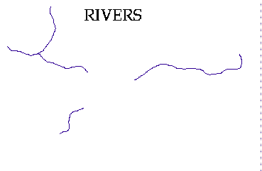
Figure 5: Rivers in Oakwood
FORESTS
An ASCII (text) data file describing a grid dataset of the treetypes in the area. This is in a format ready to import into ARC-INFO. It is called forest.dat . Grid code 5 is equal to Oak
and 10 is equal to Pine.

 go on .
 go back
 go home